 Indian Thought Latest News & Views
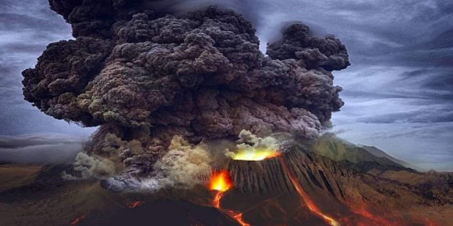
Volcanic: Recently published journal of a research surprised everyone. Research published in the Earth and Space Science Journal shared information about ocean currents, plate tectonics and climate change. Recently, with the help of high-definition radar satellite, more than 19 thousand volcanoes ( volcanoes ) have been detected inside the seas on the earth.
Mapping has been done with sonar
Earlier in 2011, using sonar, which detects marine objects through sound waves, a quarter of the oceans on Earth were mapped and more than 24,000 seamounts, or sea mountains, were detected, which are volcanic activity. were made because of However, there are more than 27,000 seamounts that are not detected by sonar. However, according to this research, scientists said that small marine volcanoes with a height of 1,214 feet can be accurately estimated in the depth of the ocean floor.
increase in natural disasters
Scripps Institution of Oceanography marine geophysicist David Sandville, who is working in this survey, told that this research has been described as brilliant. He told that if there is a severe eruption in these volcanoes in future, disasters like earthquake, tsunami can occur, as happened due to Tonga volcano eruption last year. New research suggests that scientists should not rely on sonar to study the ocean. Rather ‘radar satellite’ such a system helps to find out the depth of the sea as well as the secrets hidden inside it.
A few years ago a tsunami occurred in Tonga, located in the Pacific Ocean, due to an oceanic volcano.
radar satellite system very important
This system is capable of presenting the textures under the sea in a better way, which can prove to be very important from the point of view of research. Scientists collected data from several satellites, including the European Space Agency’s CryoSat-2, and found they could find mounds as small as 3,609 feet under water. According to the report, they have done research by reaching the lowest limit of sea mountains. Scientists further told that this system has helped a lot in the mapping of the Northeast Atlantic Ocean and along with it the reason for the formation of metal plume in Iceland has also been known. Apart from ocean currents, it has also helped in better understanding of ‘upwelling’. Upwelling occurs when water from the bottom of the ocean moves upwards towards the surface.